

In southwestern France, the Périgord Noir offers more than a collection of medieval castles and celebrated villages. Along the Dordogne, Beynac, Castelnaud, La Roque-Gageac, Montfort and Marqueyssac reveal how centuries of human history became inseparable from cliffs, forests and water. Today, travelling by canoe or traditional gabare gives visitors something roads cannot: the ability to read an entire cultural landscape from the river that has connected it for centuries.
In the Dordogne Valley, distance changes everything.
From the river, a castle can look almost impossibly high. From the top of a village, the same water becomes a narrow line below the cliffs. Inside the old streets, both may disappear behind a stone wall, a staircase or a roof.
This constant change of perspective is one of the keys to discovering the Périgord Noir.
The region is famous for medieval heritage, but its identity cannot be understood through monuments alone. The landscape itself explains why people settled here, why fortresses occupied the heights and why communities developed along the Dordogne.
For today’s traveller, that relationship between history and geography has become the experience.
Castelnaud: a fortress built to command the valley
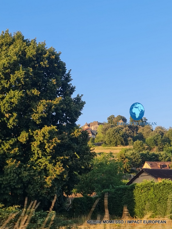
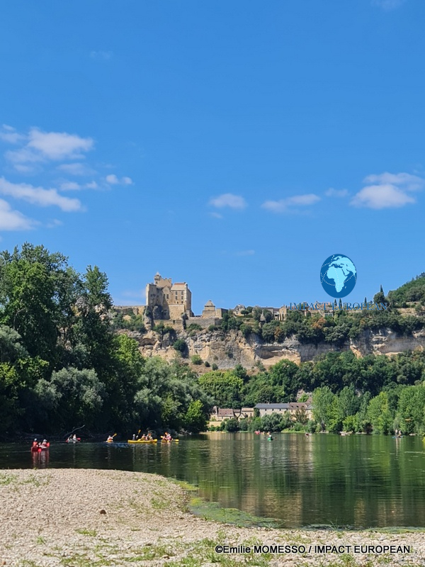
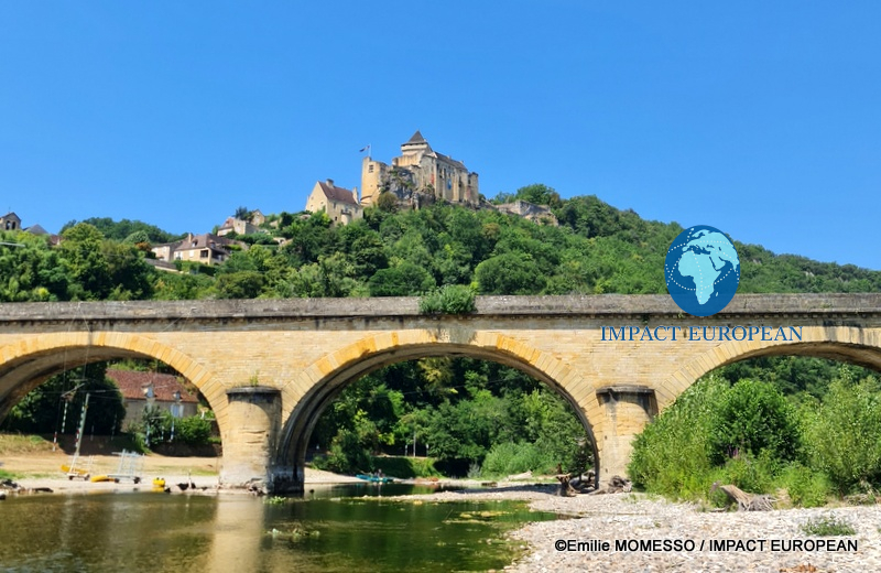
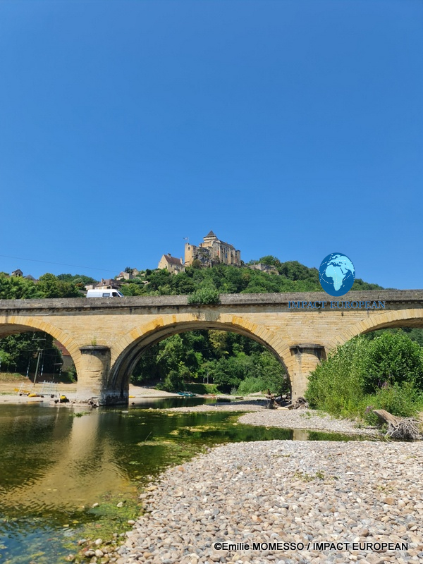
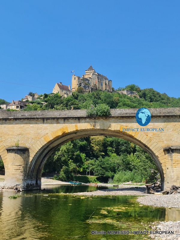
Seen from the banks near the road bridge at Castelnaud-la-Chapelle, the Château de Castelnaud rises above the Dordogne.
The fortress, founded in the 12th century, occupies a commanding position over the valley. Its military history, including the conflicts that marked medieval Aquitaine, can now be explored through the Museum of Medieval Warfare, with collections of weapons and armour as well as reconstructions of siege engines.
What once offered a strategic advantage now provides a lesson in landscape.
Standing below the castle, the logic of its location becomes clear without needing a map.
Water lies below.
Rock provides elevation.
The valley opens into the distance.
A structure built for defence has become a place from which visitors can understand how geography once shaped power.
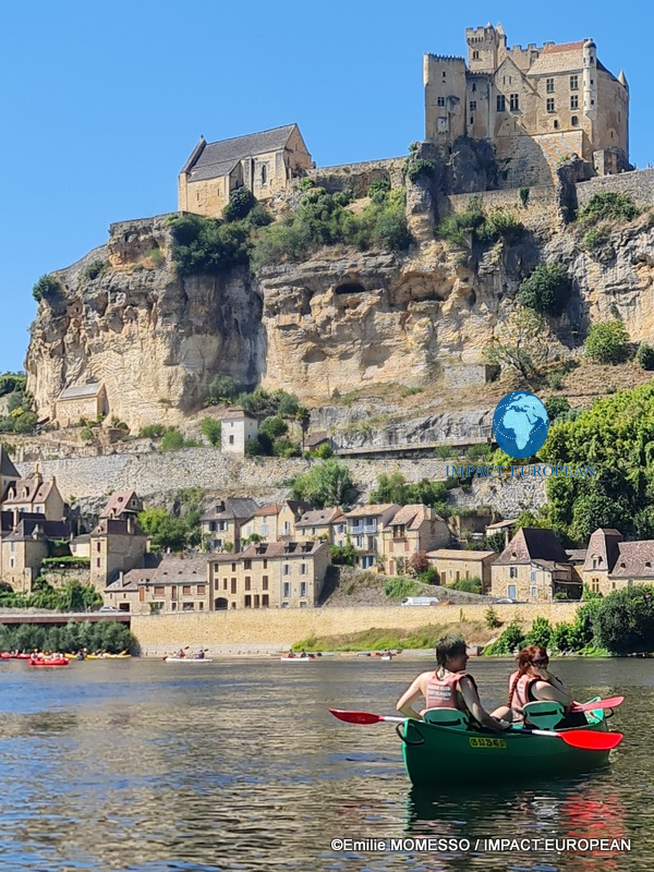
Beynac looks entirely different from the water
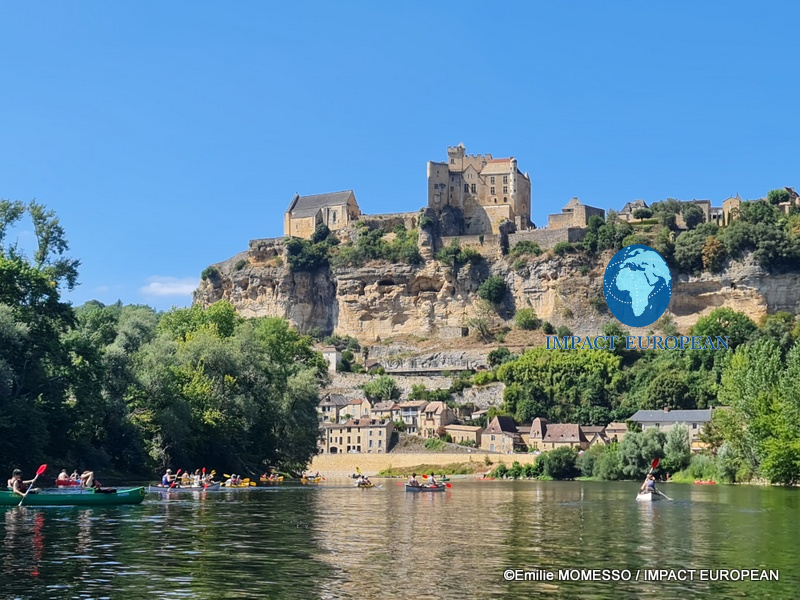
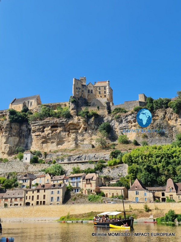
Beynac-et-Cazenac offers one of the valley’s most striking perspectives.
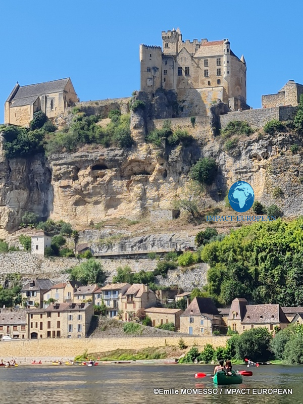
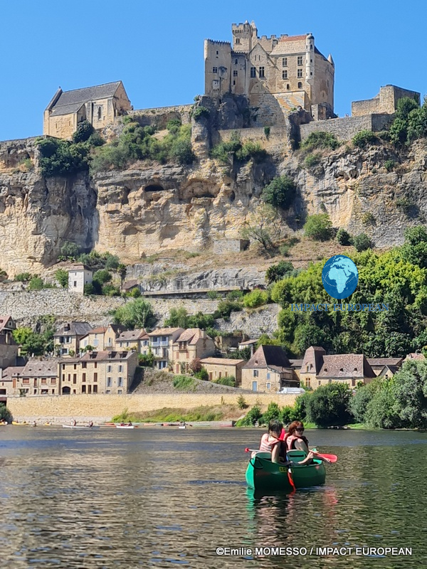
The village rises from the Dordogne towards the Château de Beynac, with stone houses occupying the slope beneath the fortress. Near the upper part of the settlement stands the Church of Notre-Dame-de-l’Assomption.
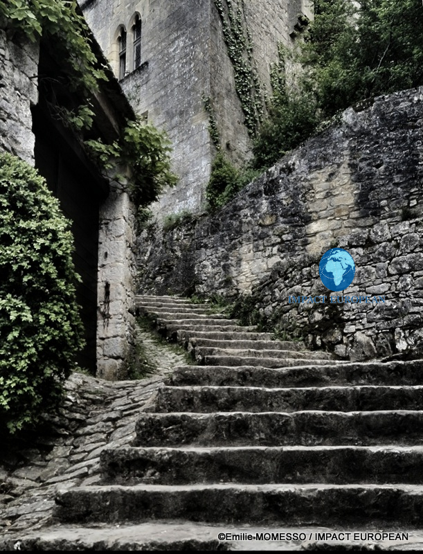
From inside Beynac, discovering the village means climbing.
Stone streets and stairways follow the terrain. The staircase leading towards the old church makes the vertical organisation of the settlement particularly visible.
But from a canoe, everything changes.
The individual streets disappear into a much larger composition.
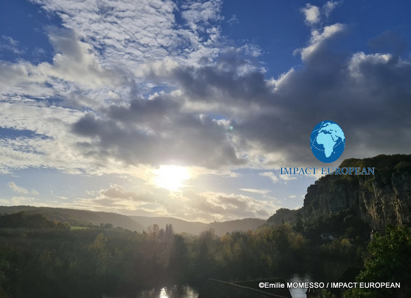
The river fills the foreground. Houses line the bank and climb towards the limestone cliff. Above them stands the medieval stronghold.
Then brightly coloured canoes pass beneath it.
The contrast is one of the defining images of tourism in the valley: contemporary leisure taking place beneath architecture inherited from an entirely different society.
Yet the river connects both.
A journey measured by the paddle
Travelling by canoe creates a relationship with the Dordogne that cannot be reproduced from a car.
Movement becomes slower.
A cliff remains in view for several minutes. A castle gradually emerges above the trees. A village is approached from the direction in which generations of river travellers would once have seen it.
There is also silence between the landmarks.
Forest.
Rock.
Water.
Then another settlement appears.
For international visitors accustomed to experiencing heritage through individual monuments, the journey offers something different. The attraction is not simply what stands at the destination, but what connects one site to another.
The Dordogne becomes part of the visit rather than an element of the scenery.
La Roque-Gageac: a village with almost nowhere to expand
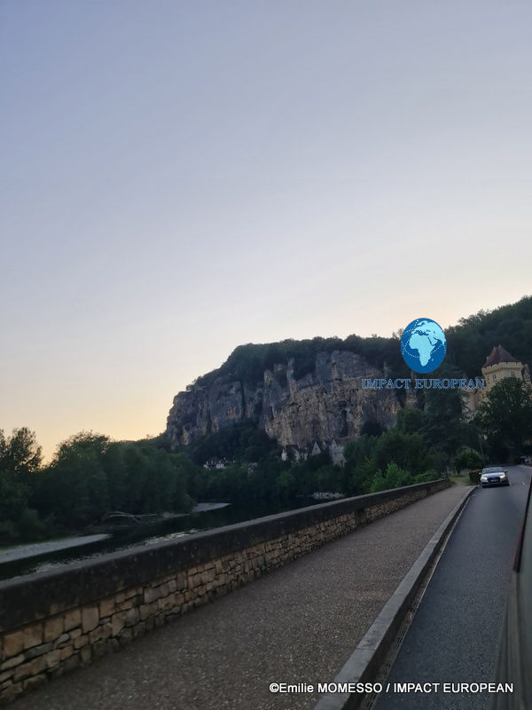
At La Roque-Gageac, geography becomes particularly dramatic.
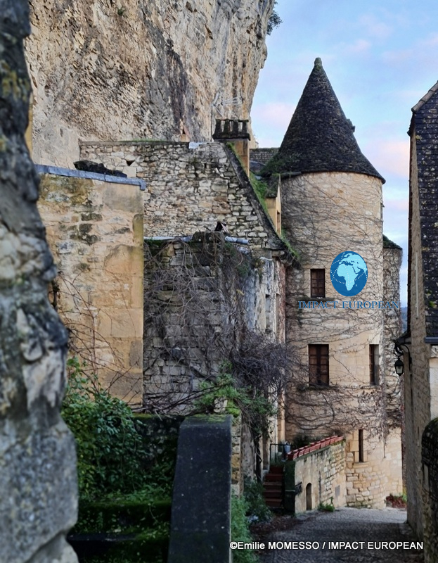
The settlement occupies the narrow space between the limestone cliff and the river.
Houses, lanes and gardens have developed within that constraint, producing a village whose form cannot be separated from its natural setting.
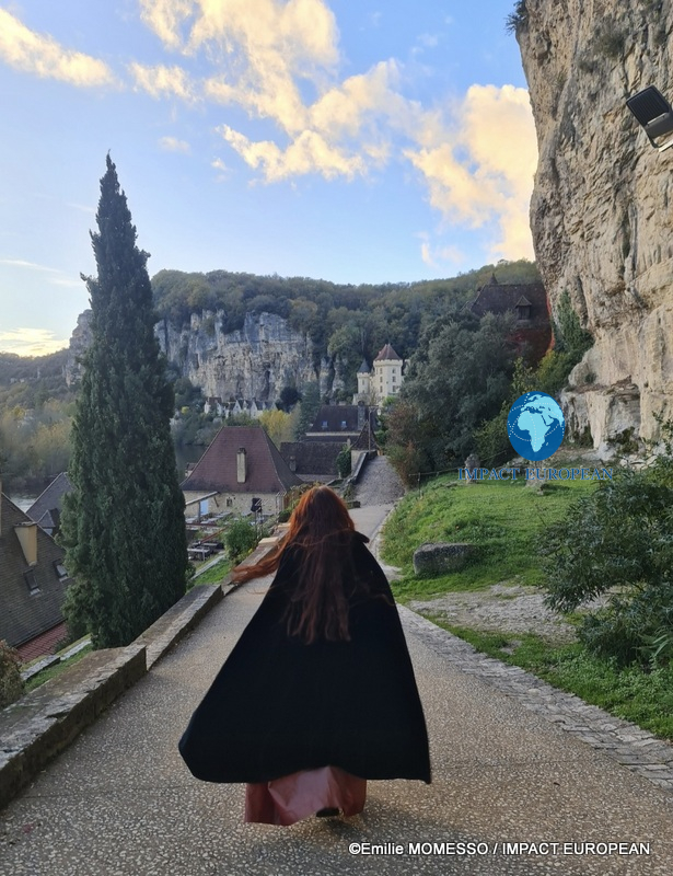
Walking down from the upper paths reveals this relationship gradually.
Near the Ruelle de la Forge, vegetation frames views towards the valley. Farther down, roofs and stone façades occupy the slope before the Dordogne reappears below.
The Manoir de Tarde is part of this historic fabric.
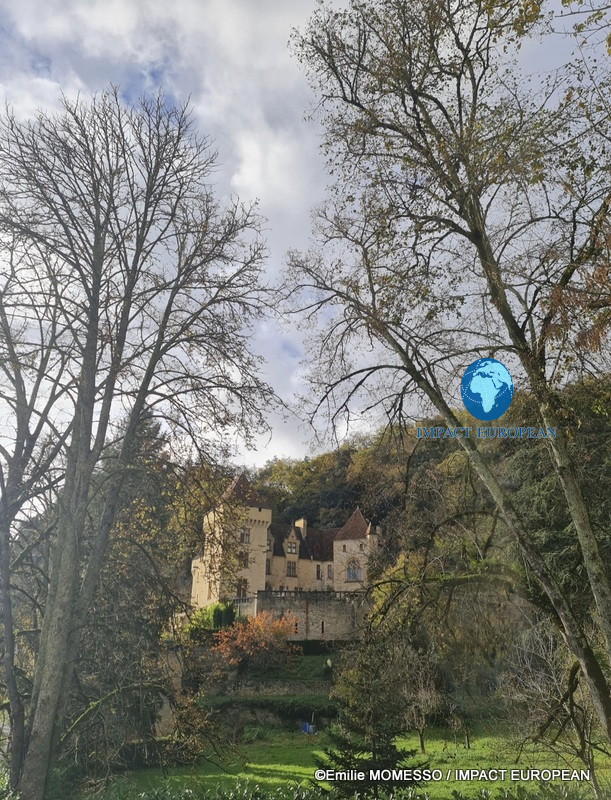
At the entrance to La Roque-Gageac, the Château de la Malartrie introduces another architectural landmark, visible through the surrounding landscape.
But the village contains an unexpected contrast.
Its sheltered, sun-exposed setting supports an exotic garden where palms, banana plants and other vegetation grow against the limestone backdrop.
Medieval-looking stone and almost Mediterranean vegetation suddenly share the same view.
It is one of the details that prevents La Roque-Gageac from becoming simply another picturesque French village.
Marqueyssac changes the scale
At Vézac, the Jardins de Marqueyssac offer the opposite experience.
Instead of looking upwards from the river, visitors gain height.
Paths, planted spaces and viewpoints reveal the wider structure of the valley. Castles that seemed monumental at ground level become elements within a much larger landscape.
That change of scale matters.
It demonstrates why the Dordogne should not be approached as a sequence of isolated attractions.
The monuments belong to the same geographical system.
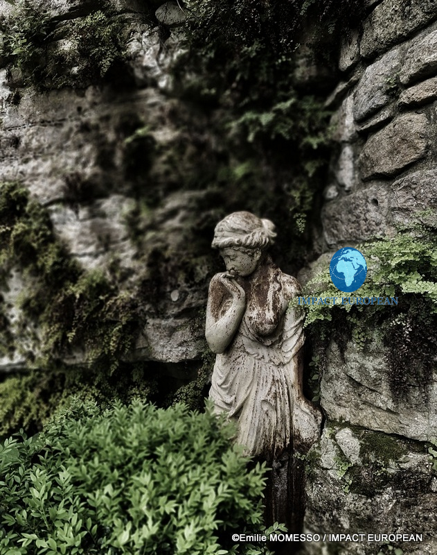
Even the smaller details of Marqueyssac contribute to another reading of heritage. A classical female figure, partly concealed by vegetation, creates an intimate scene far removed from battlements and defensive walls.
The valley contains both.
Military architecture represents only one layer of its cultural history.
Montfort, another castle above another bend
Upstream, Montfort introduces another variation.
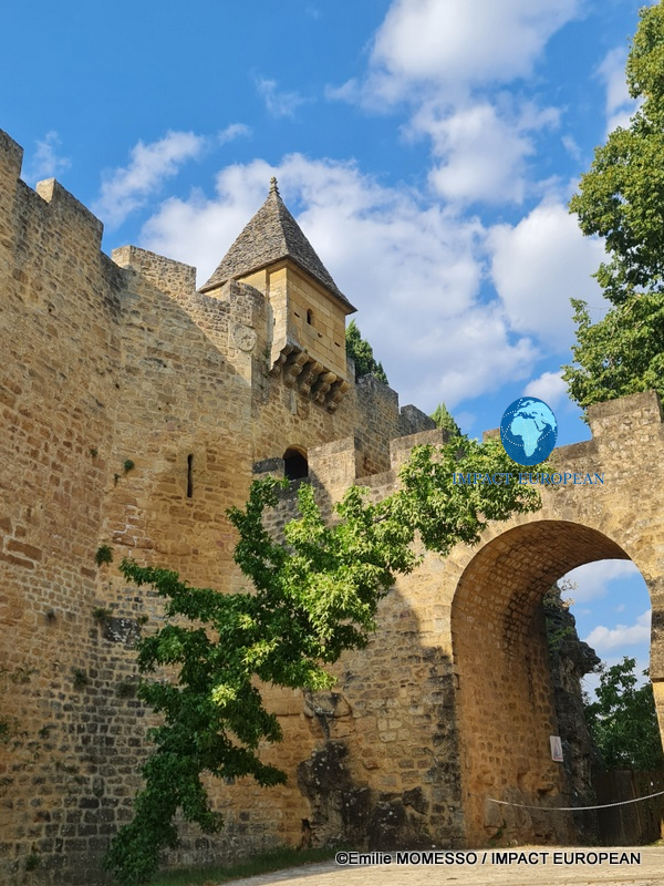
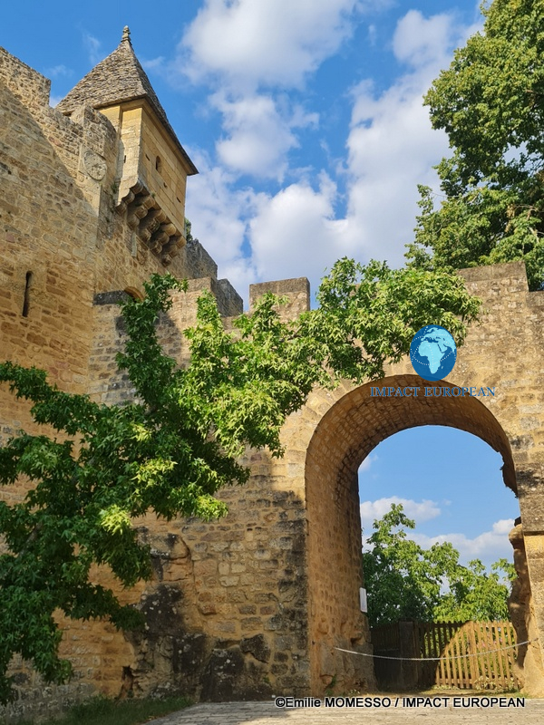
Located in the commune of Vitrac, the Château de Montfort occupies a position above a bend in the Dordogne.
Seen close to its fortified entrance, attention moves away from the immense valley panoramas towards architecture: stonework, arches, defensive forms and roofs.
Then the wider geography reappears.
Once again, water lies below a position of height.
The pattern encountered at other sites returns in a different form.
For today’s visitor, repetition makes the landscape beautiful.
Historically, it also reveals something practical.
Height, visibility, access and water mattered.
The celebrated appearance of the valley is partly the consequence of choices originally made for reasons that had little to do with tourism.
Before tourism, the river worked
The Dordogne was not always travelled for pleasure.
River navigation formed part of the economic life of the region, with gabariers transporting goods including timber and wine.
The traditional flat-bottomed gabares associated with this history have acquired a new purpose.
They now carry visitors.
That transition is particularly revealing because the boat remains on the river while almost everything about the journey has changed.
Cargo has given way to passengers.
Commercial necessity has given way to cultural discovery.
The river that once helped move regional production now helps visitors understand the region itself.
The view from a gabare
A gabare offers a different rhythm from a canoe.
The passenger does not need to concentrate on paddling. The journey becomes observation and interpretation.
From the water, guides can reconnect the visible landscape with stories of navigation, villages and castles.
For visitors unfamiliar with the history of the Périgord Noir, this creates an accessible entry into a complicated territory.
A fortress is no longer simply “a beautiful castle.”
Its height has a reason.
A riverside settlement is no longer simply “a beautiful village.”
Its location has a history.
The landscape begins to make sense.
A UNESCO-recognised living environment
The natural dimension of the journey is equally important.
Since 2012, the Dordogne basin has been recognised by UNESCO as a Biosphere Reserve. The designation encompasses a territory far larger than the Périgord Noir alone and highlights the relationship between ecosystems and human activities.
That distinction helps explain why travelling through this part of France feels different from visiting a concentrated heritage site.
There is no gate around the landscape.
The river continues beyond the castles.
Forests surround the villages.
Cliffs support both ecosystems and buildings.
People live, work and travel within the same environment that visitors have come to discover.
Heritage and nature overlap continuously.
Beyond the postcard
Beynac and La Roque-Gageac are undeniably photogenic.
Castelnaud offers the silhouette expected of a medieval fortress.
Marqueyssac provides sweeping views.
The Dordogne beneath them can look almost designed for travel photography.
But stopping at that image would miss what makes the valley culturally significant.
These places were not created as scenery.
The villages responded to terrain.
The castles responded to power and defence.
River traffic responded to economic needs.
Paths responded to everyday movement.
What appears harmonious today is the accumulated result of very different periods and purposes.
Tourism arrived later.
Its challenge is to experience that inheritance without reducing it to decoration.
France from the level of the river
The Périgord Noir is often discovered through famous names.
Beynac.
Castelnaud.
La Roque-Gageac.
Marqueyssac.
Montfort.
Yet one of the most revealing ways to experience them is to stop treating each name as a separate destination.
Walk through the villages.
Climb their steps.
Look down from the heights.
Then return to the water.
From a canoe, the monumental becomes geographical again. From a gabare, the river’s former economic life returns through memory. From the bank, castles regain the scale that made them formidable.
Centuries have altered the purpose of almost everything visible along the journey.
Fortresses became heritage.
Commercial boats became cultural experiences.
Old paths became routes of discovery.
Villages once shaped by necessity became destinations sought by travellers from around the world.
The river needs no reconstruction.
Long after the purposes of the valley changed, the Dordogne still carries the landscape from one generation to the next.
©2026 IMPACT EUROPEAN – All rights reserved
Views: 3
More Stories
Saudi Arabia’s new power equation: Why Paris matters to Riyadh
Mas-d’Azil Cave: A Road Through the Mountain, a Journey Through Human Time
Tioman’s Hidden Network: The Life Beneath a Coral Reef